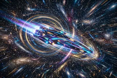
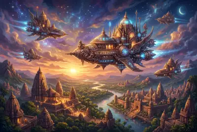
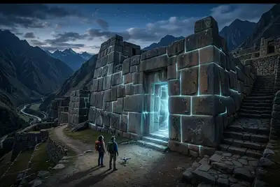
Imagine being adrift, miles from any visible land, with nothing but the vast expanse of the ocean surrounding you. How would you know which way to go? For us, it’s a terrifying prospect, a scenario straight out of a survival movie. But for ancient mariners, especially the legendary navigators of the Pacific, this wasn't a nightmare—it was a daily reality, a challenge they met with an almost unbelievable mastery of their environment. I often ponder how they did it, long before GPS or even reliable compasses. It makes me wonder if they weren't just sailing, but actively *decoding* a complex, living data stream that we’ve largely forgotten how to read: the ocean itself.
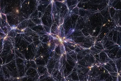
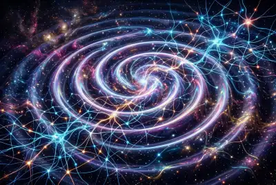
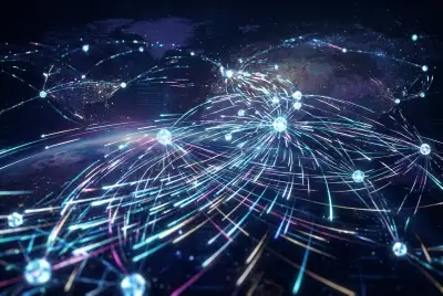
This isn't about deciphering star charts alone, though celestial navigation was undoubtedly crucial. Instead, I'm captivated by the idea that certain ancient cultures possessed an intimate, almost computational understanding of ocean currents, wave patterns, and other subtle marine phenomena. They didn't just sail *on* the ocean; they learned to interpret its "language," transforming its dynamic movements into a vast, invisible map. Did they, in effect, build a kind of "cosmic computer" within their minds, processing natural data points to navigate thousands of miles across open water?
## The Ocean's Symphony of Information
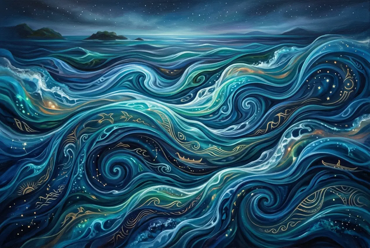
To truly appreciate the genius of ancient navigators, we must first understand the complexity of the medium they mastered. The ocean is not a flat, static surface. It's a dynamic, three-dimensional system of interconnected currents, eddies, and swells, driven by global winds, the Earth's rotation, temperature differences, and salinity variations. These forces create vast "rivers" within the sea, from the mighty Gulf Stream to the intricate counter-currents of the Pacific.
These currents dictate weather patterns, distribute marine life, and crucially, affect a vessel's speed and direction. For someone relying on paddles or sails, understanding these flows meant the difference between a swift journey and being lost forever. I often think about how many data points modern oceanographers collect with satellites and buoys to model these systems. Yet, ancient sailors achieved remarkable feats of navigation without a single piece of modern tech.
### Beneath the Waves: The Science of Ocean Currents
Ocean currents can be categorized broadly into surface currents and deep ocean currents. Surface currents, which are primarily wind-driven, interact directly with a sailing vessel. They can be warm or cold, fast or slow, and their direction changes with geographic location and sometimes seasonally. Learning to read these dynamic systems isn't just about noting the direction of the water; it involves discerning subtle clues that indicate their presence and characteristics.
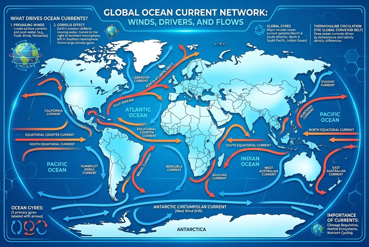
The Coriolis effect, caused by Earth's rotation, plays a significant role in deflecting these currents, creating vast gyres in each ocean basin. Imagine trying to intuitively grasp such complex physics without equations or satellite imagery! It required generations of careful observation, memorization, and transmission of knowledge.
## Beyond the Horizon: The Wayfinders of Polynesia
Perhaps no civilization exemplifies this deep understanding of the ocean as "living data" better than the Polynesian Wayfinders. Their astounding voyages across the vast Pacific, colonizing islands separated by thousands of miles, remain one of humanity's greatest navigational achievements. They weren't just lucky; they were masters of what we might call "environmental computing."
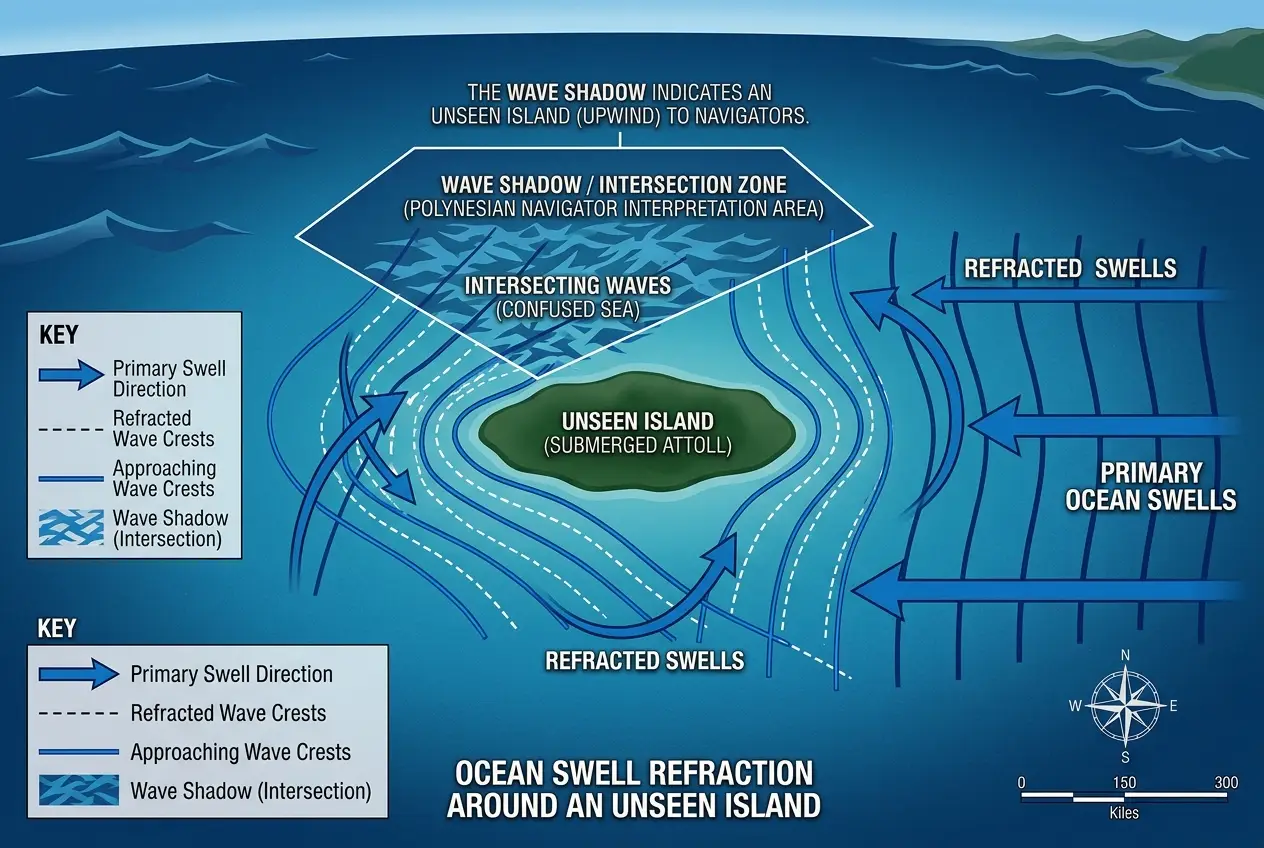
The Polynesians developed a holistic system of navigation that incorporated an astonishing array of environmental cues. While stars provided direction, the ocean currents and swell patterns were their true compass. They learned to feel the rhythm of the waves, understanding that different swell patterns, originating from distant storms or reflecting off islands, would cross each other, creating intricate, readable patterns.
As David Lewis, a prominent scholar of traditional navigation, noted in his work, "The Pacific Navigators," they had "a living map in their heads, constantly updated by sensory input from the sea and sky." They could identify the direction of distant islands by observing how swells refracted or bent around them, creating a distinct "wave shadow" or "swell pulse." This was an incredible form of remote sensing, long before radar or sonar. You can learn more about their incredible methods on [Wikipedia's page on Polynesian navigation](https://en.wikipedia.org/wiki/Polynesian_navigation).
These navigators also paid attention to:
* **Cloud formations:** Clouds accumulating over high islands, even beyond the visible horizon.
* **Bird flight:** Species that flew out to sea in the morning and returned to land in the evening.
* **Ocean color and temperature:** Subtle changes indicating proximity to land or specific currents.
* **Smell:** The distinct aroma of vegetation carried by the wind from distant islands.
Their knowledge was passed down orally, often through epic chants and mnemonic devices, transforming empirical observations into a practical, actionable database for traversing the immense ocean. I believe these methods represent a pinnacle of human environmental literacy.
If you're fascinated by ancient navigation, you might also enjoy our blog on whether [ancient mariners sensed unseen cosmic cues](https://curiositydiaries.com/blogs/did-ancient-mariners-sense-unseen-cosmic-cues-7075), which explores other subtle forms of guidance.
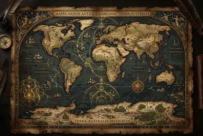
## Reading the "Invisible" Map: Other Ancient Cultures
While the Polynesians are often highlighted, many other ancient cultures around the globe developed sophisticated understandings of ocean dynamics. Consider the **Marshallese stick charts**, known as *rebbelibs* or *mattangs*. These remarkable artifacts weren't used *on* the water but as teaching tools on land. Made of sticks representing swell patterns and shells denoting islands, they provided abstract, tactile representations of wave phenomena and their interactions, teaching navigators how to interpret the subtle movements of the sea.
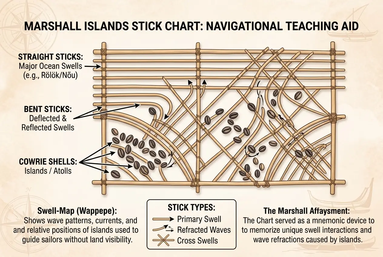
These charts were essentially analog models, encoding complex oceanographic data into a portable, understandable format. They demonstrated that understanding the ocean’s rhythm was not just about direction, but about recognizing patterns and interactions—a true form of environmental data processing. You can find more historical information on these unique tools at [Wikipedia's article on stick charts](https://en.wikipedia.org/wiki/Marshall_Islands_stick_charts).
Similarly, early mariners in the Mediterranean, Indian Ocean, and along the coasts of Africa and the Americas all developed localized, empirical knowledge of currents, winds, and tides crucial for their voyages. While perhaps not as famed for open-ocean crossing as the Polynesians, their ability to chart trade routes and exploit natural forces speaks volumes about their "data processing" capabilities. It wasn't about building a physical machine, but about building an internal, highly refined model of their world. This contrasts sharply with our modern reliance on explicit, physical maps, as explored in our piece on [ancient maps and hidden tech mapping sunken lands](https://curiositydiaries.com/blogs/ancient-maps-did-hidden-tech-map-sunken-lands-6288).
## The "Algorithms" of Ancient Navigation
How did these ancient mariners process such a torrent of sensory data? Their "algorithms" were likely multi-layered:
1. **Pattern Recognition:** Identifying recurring swell patterns, wave heights, and current shifts linked to specific geographic features or weather systems.
2. **Mnemonic Devices & Oral Tradition:** Complex information codified into chants, stories, and songs, ensuring accurate transmission across generations. This acted as a living, communal database.
3. **Experiential Learning:** Thousands of hours spent on the water, allowing for the subconscious integration of countless variables. This wasn't just book knowledge; it was felt, heard, and deeply embodied.
4. **Multi-sensory Integration:** Combining visual cues (clouds, birds), tactile cues (wave motion on the hull), auditory cues (sound of waves against distant land), and olfactory cues (smell of lagoons).
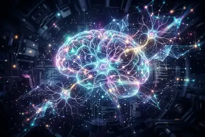
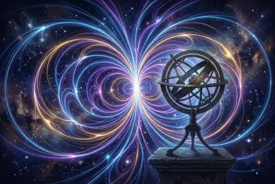
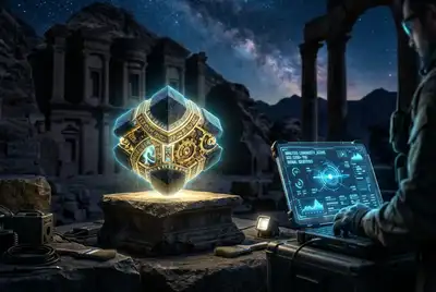
Essentially, the ancient navigator's mind, honed by culture and experience, functioned as an incredibly sophisticated, bio-analog computer. It was capable of taking in vast amounts of noisy, real-world data and generating reliable predictions and courses of action. I find this much more fascinating than simply following a compass.
## Modern Echoes: Current Science & AI
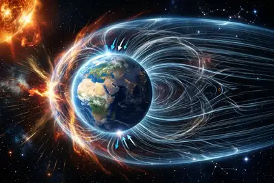
Today, oceanographers employ advanced technologies—satellite altimeters measure sea surface height, buoys track currents, and sophisticated numerical models run on supercomputers predict ocean movements. Modern AI and machine learning algorithms are increasingly being used to analyze vast datasets of oceanographic data to improve forecasting and understand long-term climate patterns.
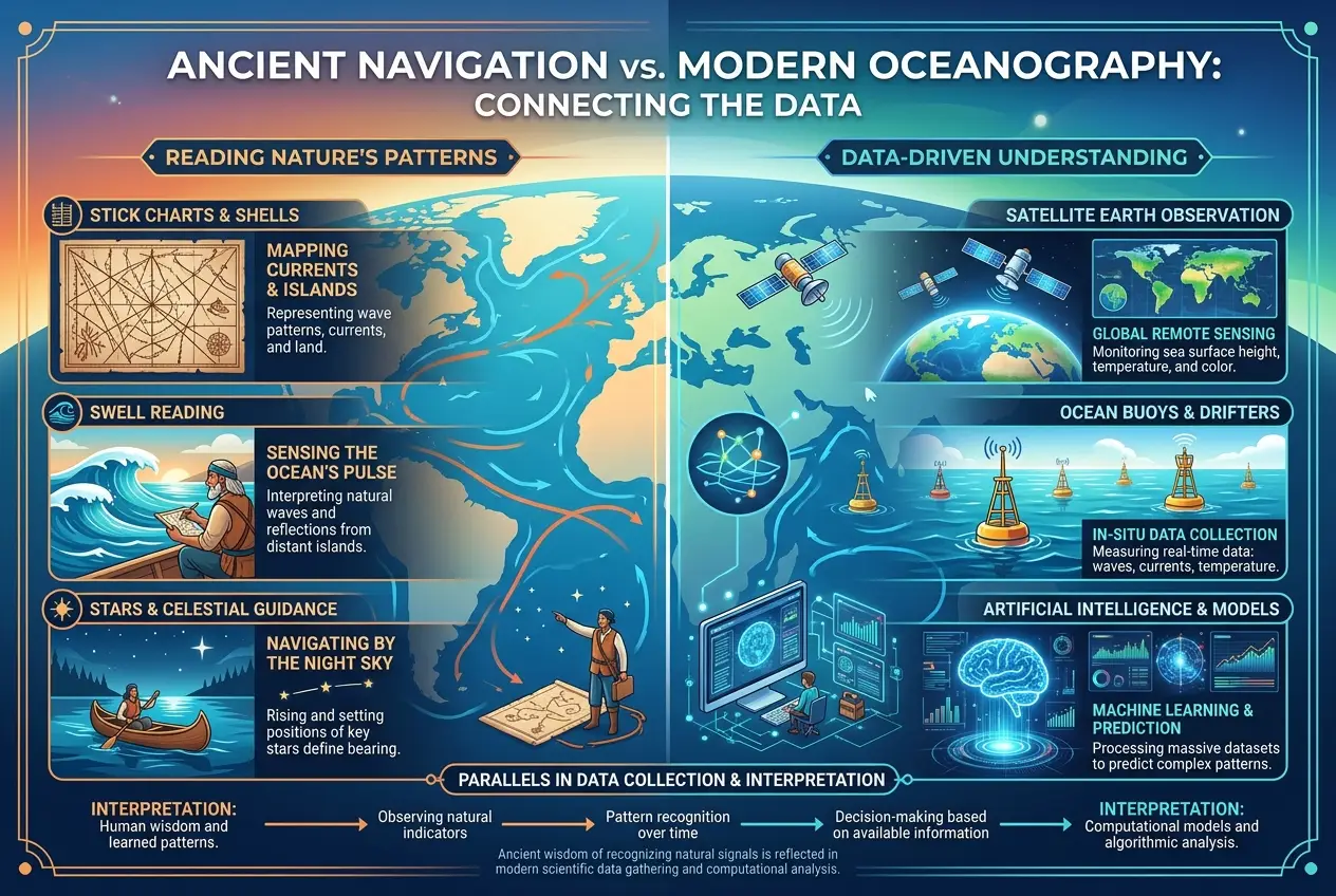
What’s striking is the parallel: both ancient navigators and modern scientists are attempting to "decode" the same complex system. The ancients used their senses, intuition, and accumulated wisdom; we use sensors, computational power, and algorithms. In a way, the challenges remain the same – to understand the dynamic, unpredictable nature of the ocean. Our modern methods allow for global, precise mapping, but perhaps we've lost some of that immediate, deeply integrated sensory understanding that defined the Wayfinders. More on modern oceanography can be found on [Wikipedia's page for Physical Oceanography](https://en.wikipedia.org/wiki/Physical_oceanography).
## Was it Tech or Intuition?
The debate over whether these ancient practices constituted "technology" in a modern sense is ongoing. If technology is defined as the application of scientific knowledge for practical purposes, then their methods certainly qualify. Their understanding of ocean currents was a form of empirical science, meticulously applied for the practical purpose of successful navigation.
However, it was also deeply intertwined with intuition and embodied knowledge—a sensitivity to the environment that might seem almost mystical to us. It wasn't about building external machines, but about refining the human instrument itself. They didn't just know *about* the currents; they seemed to *feel* them, internalizing the ocean's patterns until it became a second nature. I believe this fusion of empirical data, pattern recognition, and embodied experience is where the true brilliance lies.
## The Enduring Mystery and Our Lost Connection
The achievements of ancient mariners in decoding the ocean's secret language leave us with a profound sense of wonder. They remind us that intelligence isn't solely confined to digital circuits or academic textbooks. It can manifest as a deep, living connection to the natural world, a capacity to derive complex information from subtle cues.
In our increasingly digital age, where navigation is often reduced to a glowing screen, perhaps there’s a lesson to be learned from these ancient "cosmic computers." Maybe we should reconsider the value of slowing down, observing, and re-engaging our senses to understand the intricate data streams that our planet constantly emits. What other "secret languages" are waiting for us to decode?
Frequently Asked Questions
Ancient navigators, through generations of empirical observation and experiential learning, achieved remarkable accuracy. The successful colonization of vast island chains like those in Polynesia demonstrates their ability to navigate thousands of miles with precision, often returning to small target islands. Their success rate was high enough to facilitate sustained exploration and settlement.
Yes, traditional navigation methods are still used and taught in some indigenous communities, particularly in the Pacific. While modern technology is widely available, there's a concerted effort to preserve and revitalize these ancestral skills, recognizing their cultural significance and their profound connection to the environment. Institutions like the Polynesian Voyaging Society actively practice and teach these techniques.
Mnemonic devices played a critical role in preserving and transmitting the vast, complex knowledge required for traditional navigation. This included epic chants, songs, stories, and even tactile tools like Marshallese stick charts. These methods allowed generations of navigators to internalize intricate patterns of swells, currents, and celestial movements without written records, acting as a living, oral database.
Ancient navigators learned to distinguish different types of swells (e.g., primary swells from distant storms, secondary swells reflected off land) by their direction, period (time between crests), and interaction. They would often lie down in their canoes to feel the subtle movements of the hull, integrating this tactile information with visual observations of wave patterns and other environmental cues like cloud formations and bird flight.
This deep understanding of ocean currents provided insights far beyond mere navigation. It allowed ancient cultures to understand marine ecosystems, predicting where fish would gather, where seasonal migrations occurred, and how weather patterns developed. This holistic knowledge was integral to their survival, resource management, and overall relationship with the marine environment.
Verified Expert
Alex Rivers
A professional researcher since age twelve, I delve into mysteries and ignite curiosity by presenting an array of compelling possibilities. I will heighten your curiosity, but by the end, you will possess profound knowledge.
Leave a Reply
Comments (0)
No approved comments yet. Be the first to share your thoughts!
 Join Us

 Alex Rivers


Leave a Reply
Comments (0)