I remember the first time I stumbled upon an old map depicting what looked like familiar coastlines, yet it also clearly showed vast landmasses that don't exist today. My immediate reaction was a mix of awe and skepticism. How could ancient cartographers, without satellites or sonar, possibly render continents that geology tells us vanished millennia ago? It wasn't just a single isolated drawing; a recurring motif across various cultures hinted at a profound, perhaps forgotten, understanding of our planet's geography.
This isn't about mythical Atlantis as a mere legend, but rather about the surprising accuracy in some archaic maps that defy the technological limitations of their era. It makes me wonder: did ancient civilizations possess a "hidden tech," a lost scientific capability that allowed them to chart the world in ways we're only now catching up to?
## The Enigma of Anomaly Maps
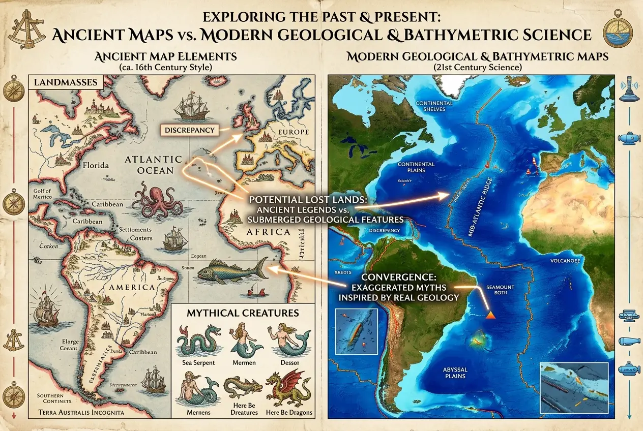
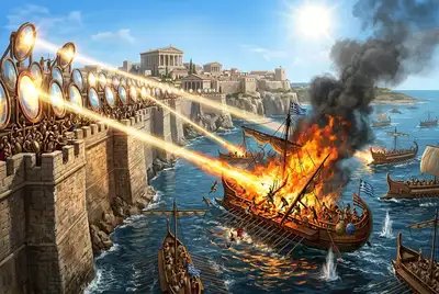
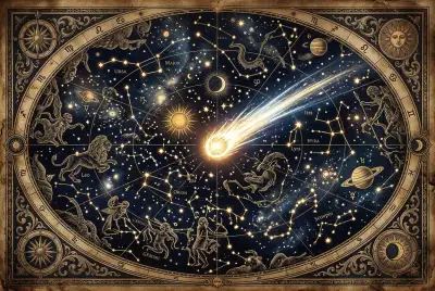
For centuries, certain historical maps have puzzled historians and cartographers alike. The Piri Reis Map, for example, controversially appears to depict the coastline of Antarctica free of ice, a condition that hasn't existed for thousands of years. While its interpretation remains hotly debated, it’s one among several "anomaly maps" that challenge our conventional understanding of ancient geographical knowledge. These aren't crude sketches; they sometimes show longitudinal accuracy that would require precise chronometers, tools only invented much later in history.
**What kind of knowledge could enable such mapping?** We typically credit modern science with the ability to measure the Earth's circumference, map oceans, and understand continental drift. Yet, these ancient documents suggest a lineage of observation and data collection that might stretch back further than we imagine, hinting at a lost golden age of exploration or even a different kind of technology.
## Decoding the Cartographic Conundrum
The core question revolves around the source of this advanced geographical data. Were ancient mapmakers simply fantastic storytellers, blending fact with fiction? Or did they access a reservoir of knowledge passed down from earlier, more advanced civilizations, perhaps even predating recorded history?
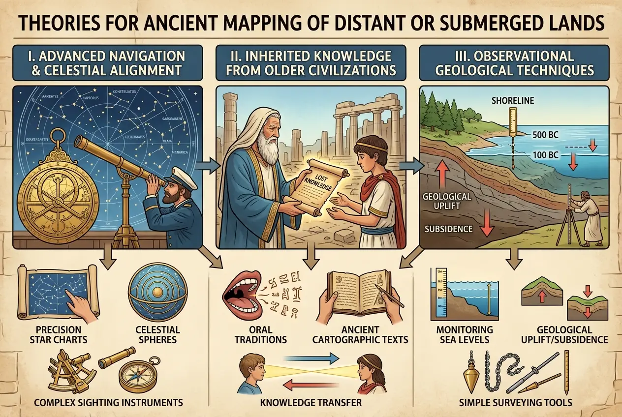
One theory suggests that ancient mariners, perhaps from a forgotten civilization, explored the globe more extensively than we believe. They might have possessed sophisticated navigation techniques, utilizing celestial bodies, ocean currents, and even Earth's magnetic field in ways we are still rediscovering. Could some of these "lost continents" be echoes of landmasses that were slowly submerging due to geological processes, observed and recorded over generations?
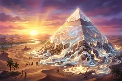
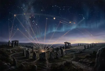
Another intriguing possibility delves into the realm of **ancient observation techniques**. While no "computer" in the modern sense existed, ancient cultures were ingenious engineers and astronomers. They built colossal structures like Stonehenge and the Great Pyramids, which served as sophisticated observatories and calendrical devices. Could they have developed methods to measure vast distances, perhaps using early forms of trigonometry or even more esoteric techniques that allowed them to understand global topography? It's not a stretch to think they might have found innovative ways to track celestial movements or understand the Earth’s shape, as evidenced by their ability to predict eclipses and chart constellations.
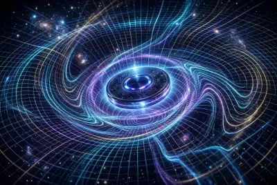
The idea that ancient civilizations could possess advanced observational tools isn't entirely new. The Antikythera Mechanism, a complex analog computer from ancient Greece, shows an astonishing level of engineering prowess dedicated to tracking celestial movements. While it wasn't a geographical mapping tool, it demonstrates that sophisticated, gear-driven devices were within the grasp of ancient minds. Could similar, perhaps even more specialized, instruments have been used for terrestrial or marine surveying? For more on how advanced ancient devices were, check out our blog on [did ancient greeks build automatons real robots of antiquity](https://www.curiositydiaries.com/blogs/did-ancient-greeks-build-automatons-real-robots-of-antiquity-7761).
## Geological Shifts and Forgotten Coastlines
Many of the "lost continents" or land bridges depicted on ancient maps align with known geological processes. Plate tectonics, glacial melt, and changes in sea levels over thousands of years have dramatically reshaped our planet's coastlines. Doggerland, for instance, was a land bridge connecting Great Britain to mainland Europe that slowly submerged after the last ice age, and evidence of its existence has been found through underwater archaeology. It’s entirely plausible that some ancient maps are simply records of coastlines that existed when sea levels were lower, reflecting a snapshot of a different geological era.
"The greatest discoveries are often hidden in plain sight, veiled by time and our own assumptions about the past." — *Unknown Archaeologist*
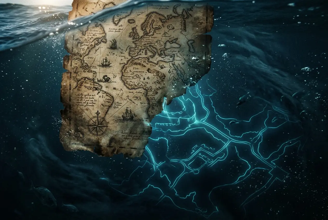
However, some maps seem to show landmasses in areas that have been underwater for millions of years, according to conventional geology. This is where the concept of "hidden tech" becomes particularly fascinating. Could ancient civilizations have developed rudimentary forms of bathymetry – the study of underwater depth – perhaps using acoustic methods or diving technologies far beyond what we currently attribute to them? Imagine an ancient system that could detect changes in depth using sound waves, similar to early sonar, or even using specialized deep-sea diving bells with sophisticated visual aids. For a deeper dive into ancient understanding of their surroundings, consider our post on [did ancient cultures decode natures hidden sounds](https://www.curiositydiaries.com/blogs/did-ancient-cultures-decode-natures-hidden-sounds-8216).
## Potential "Hidden Tech" Speculations
What kind of "hidden tech" could facilitate such detailed mapping?
1. **Acoustic Sounding Devices:** While crude compared to modern sonar, perhaps a method of dropping weighted lines with special resonating chambers or using controlled sonic pulses could have given an early indication of seabed topography. Think of it as a low-frequency, ancient version of echo-sounding.
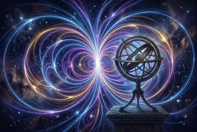
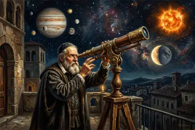
2. **Advanced Celestial Navigation:** Beyond basic star charts, they might have used highly precise instruments, perhaps involving lenses or reflective surfaces, to triangulate positions with extreme accuracy, making global voyages and accurate coastline mapping possible. For more on ancient cosmic insights, read our blog on [did ancient star maps predict cosmic events](https://www.curiositydiaries.com/blogs/did-ancient-star-maps-predict-cosmic-events-9973).
3. **Hydrographic Surveying Tools:** Specialized rafts or boats equipped with unique sensors or sampling tools that could detect variations in water depth, sediment composition, or even magnetic anomalies on the seafloor, providing clues about submerged landforms.
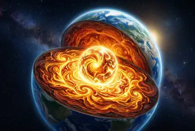
4. **Inherited Knowledge from a Pre-Diluvian Civilization:** This more speculative theory suggests that a highly advanced civilization existed before a major cataclysm (like the Younger Dryas impact event) and passed down its knowledge of world geography. This would explain the sudden appearance of accurate, detailed maps without a clear developmental lineage.
The idea of inherited knowledge is particularly captivating. If an earlier civilization possessed a comprehensive understanding of global geography, their maps could have been preserved through oral traditions, encoded in myths, or copied onto more durable materials, slowly making their way into later cartographic works. This would mean that the "tech" wasn't physical tools in every instance, but a sophisticated system of knowledge transfer.
## The Role of Anomalies in Driving Scientific Inquiry
Ultimately, these ancient cartographic anomalies serve as powerful reminders that our understanding of history and technology is constantly evolving. They force us to question assumptions and seek out new explanations, pushing the boundaries of what we consider possible for ancient peoples. While we may never uncover a physical "hidden tech" device capable of mapping the ocean floor from antiquity, the existence of these maps compels us to consider how alternative forms of knowledge and sophisticated observation could have yielded such astonishing results.
The mystery of ancient maps showing lost continents or ice-free polar regions isn't just a historical curiosity; it's a testament to the persistent human drive to explore and understand our world. It sparks the imagination, urging us to look beyond the conventional and consider the possibility that echoes of forgotten knowledge are still waiting to be deciphered, perhaps revealing that our ancestors were far more capable than we give them credit for.
What if the "hidden tech" wasn't a machine, but a highly refined methodology of observation, passed down through generations, allowing them to track the subtle, slow dance of continents and the rising and falling of ancient sea levels? The true genius might lie not in advanced gadgets, but in an unparalleled commitment to empirical observation over vast spans of time.
## Conclusion: A World Beyond Our Textbooks
The journey into the world of ancient anomaly maps is a fascinating one, blurring the lines between myth, history, and cutting-edge science. Whether these maps are products of advanced observation, forgotten technologies, or inherited knowledge from a much older, more capable civilization, they continue to challenge our perceptions of ancient capabilities. As modern technology advances, perhaps one day we'll find definitive proof buried beneath the waves or hidden within ancient texts, finally revealing the secrets of how ancient cartographers charted worlds we thought only existed in legend. It makes me believe that the pages of history hold more wonders than we currently understand, patiently waiting for us to unlock their secrets.

**External Sources:**
* [Wikipedia: Piri Reis Map](https://en.wikipedia.org/wiki/Piri_Reis_map)
* [Wikipedia: Doggerland](https://en.wikipedia.org/wiki/Doggerland)
* [Wikipedia: Ancient Cartography](https://en.wikipedia.org/wiki/Cartography#Ancient_cartography)
* [Wikipedia: Bathymetry](https://en.wikipedia.org/wiki/Bathymetry)
Frequently Asked Questions
Anomaly maps are ancient historical maps that depict geographical features, such as landmasses or coastlines, that do not match current geography or are believed to have existed in a different geological era. They are significant because their accuracy, despite the supposed technological limitations of their time, suggests a lost or advanced understanding of the world by ancient civilizations.
Theories suggest several possibilities: they might have observed coastlines when sea levels were significantly lower (e.g., during glacial periods), possessed advanced celestial navigation or surveying techniques, utilized rudimentary acoustic sounding methods for bathymetry, or inherited comprehensive geographical knowledge from an even older, more advanced pre-cataclysmic civilization.
No, there is no scientific consensus. While some features on these maps can be attributed to known geological changes (like Doggerland), others remain highly controversial and are often debated by historians, geologists, and cartographers. Many details are still considered speculative or coincidental by mainstream science.
The Antikythera Mechanism, an ancient Greek analog computer, demonstrates that sophisticated mechanical devices capable of complex calculations and observations existed in antiquity. While not a mapping tool itself, it suggests that ancient civilizations had the intellectual and engineering capacity to develop other specialized instruments, potentially for surveying or navigation, that we have yet to discover or fully understand.
Yes, 'hidden tech' could also refer to highly sophisticated methodologies, observation techniques, or advanced systems of knowledge transfer (like complex oral traditions or encoded information) that were prevalent in ancient societies but have since been lost or misinterpreted. It doesn't necessarily have to be a machine in the modern sense.
Verified Expert
Alex Rivers
A professional researcher since age twelve, I delve into mysteries and ignite curiosity by presenting an array of compelling possibilities. I will heighten your curiosity, but by the end, you will possess profound knowledge.
Leave a Reply
Comments (0)
No approved comments yet. Be the first to share your thoughts!
 Join Us

 Alex Rivers


Leave a Reply
Comments (0)